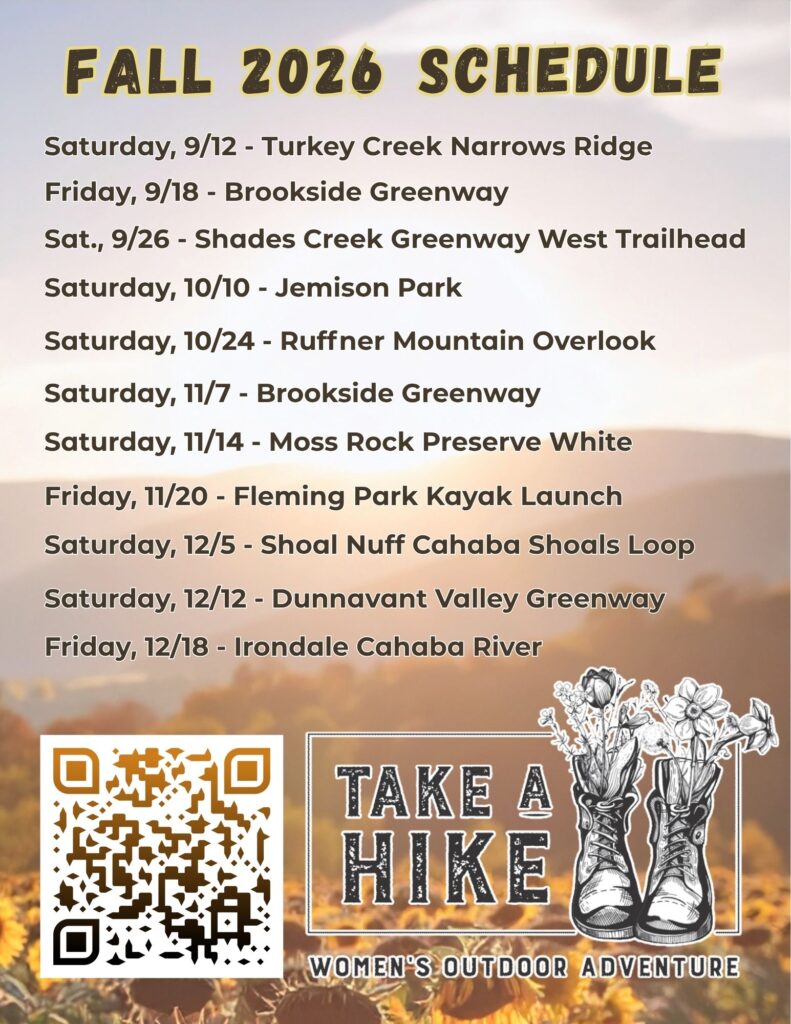
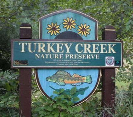
Saturday, September 12th - Turkey Creek Narrows Ridge Trail - 10:00 AM
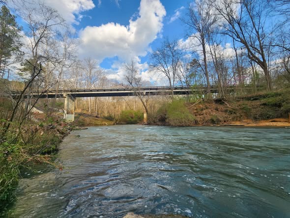
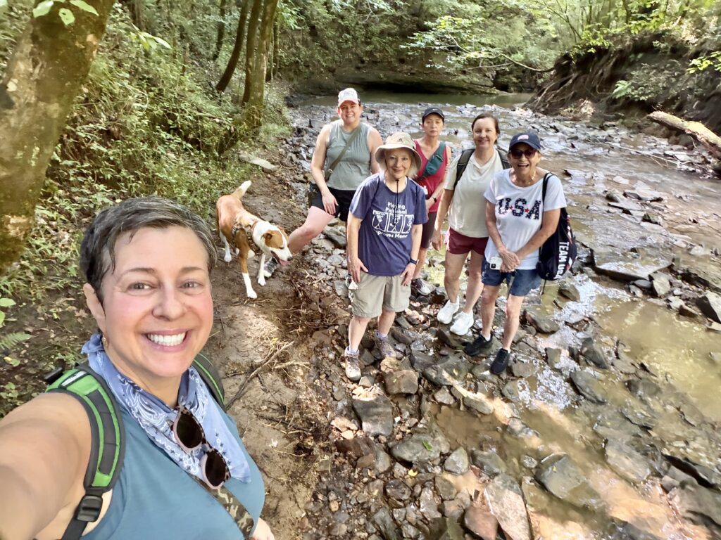
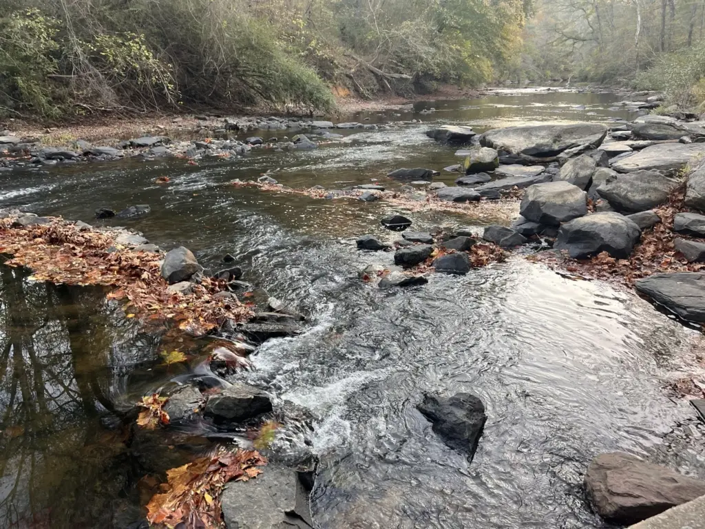
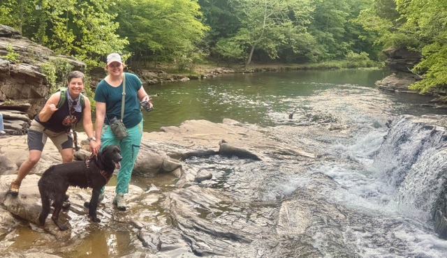
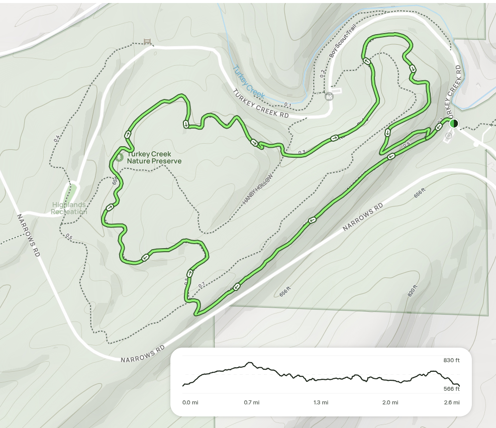
This 2.6 mile network of trails runs through Turkey Creek Nature Preserve, offering stunning views of the creek, falls and surrounding hills with a 347 ft elevation gain. Located in Pinson, Alabama, only 15 miles north of Birmingham, Turkey Creek Nature Preserve’s 466-acre’s are home to some of the most stunning and unique beauty found anywhere in the Southeast. This hike will last about 2 hours. We will finish our hike by following the Boy Scout trail along the banks of Turkey Creek and enjoying trail snacks at the falls.
We will meet up in the Turkey Creek Road small parking lot (https://maps.app.goo.gl/xyChWLYs43uARjTJA) at 10:00 AM.
If you’d like to carpool/caravan to the trail head together, please meet in the ALDI parking lot at Stadium Trace by 9:00 AM.

Friday, September 18th - Brookside Greenway Hike - 10:00 AM
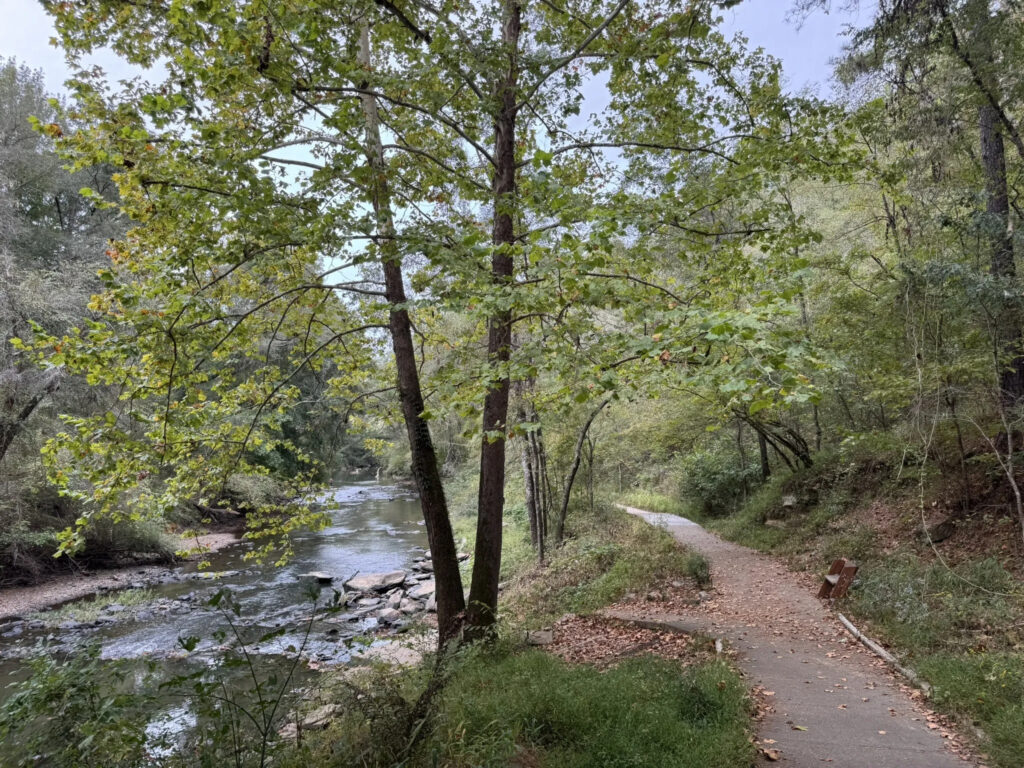
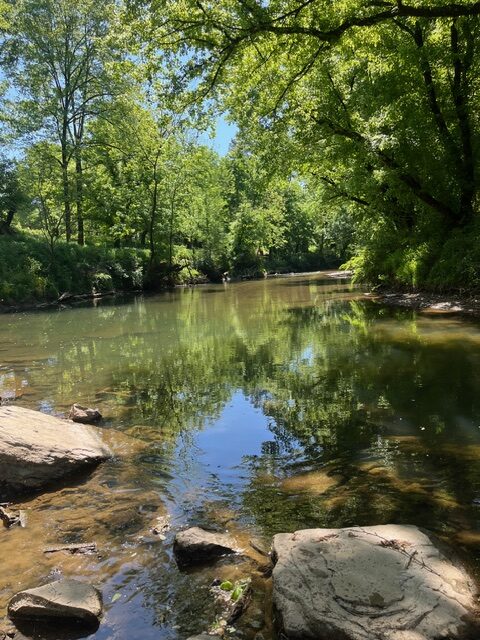
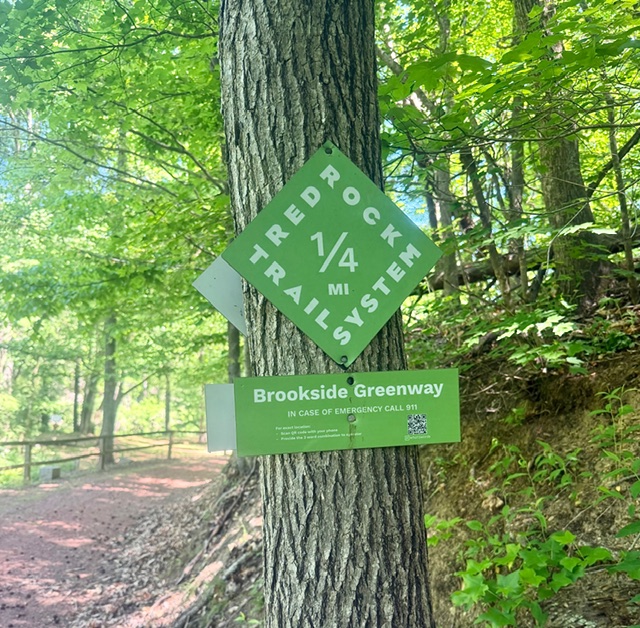
This 1.7 mile scenic trail winds through shaded woodlands and alongside Fivemile Creek, offering trail-goers a peaceful walk through a quiet natural setting with an 88 ft elevation gain. The natural-surface path features gentle terrain with occasional footbridges and views of the flowing creek, providing a refreshing outdoor escape with the charm of a small-town park and the soothing sounds of water nearby. We will meet up at the 5 Mile Creek Canoe & Co. (https://maps.app.goo.gl/y9SmcPBixaYbff2dA) at 10:00 AM.
If you’d like to carpool/caravan to the trail head together, please meet in the ALDI parking lot at Stadium Trace by 9:00 AM.
Saturday, September 26th - Shades Creek Greenway Western Trailhead - 10 AM
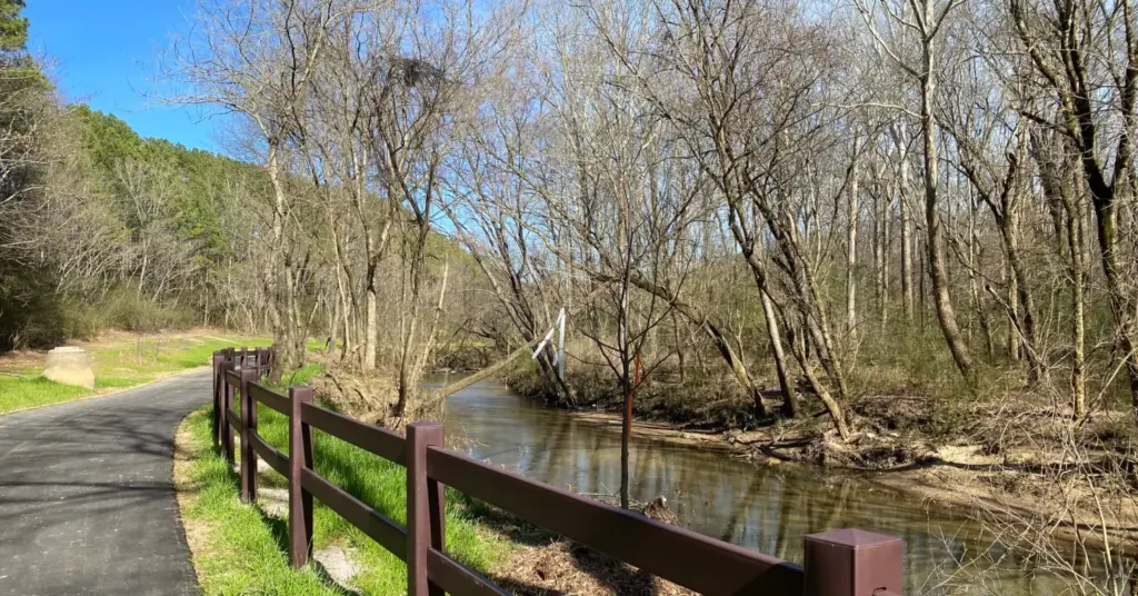
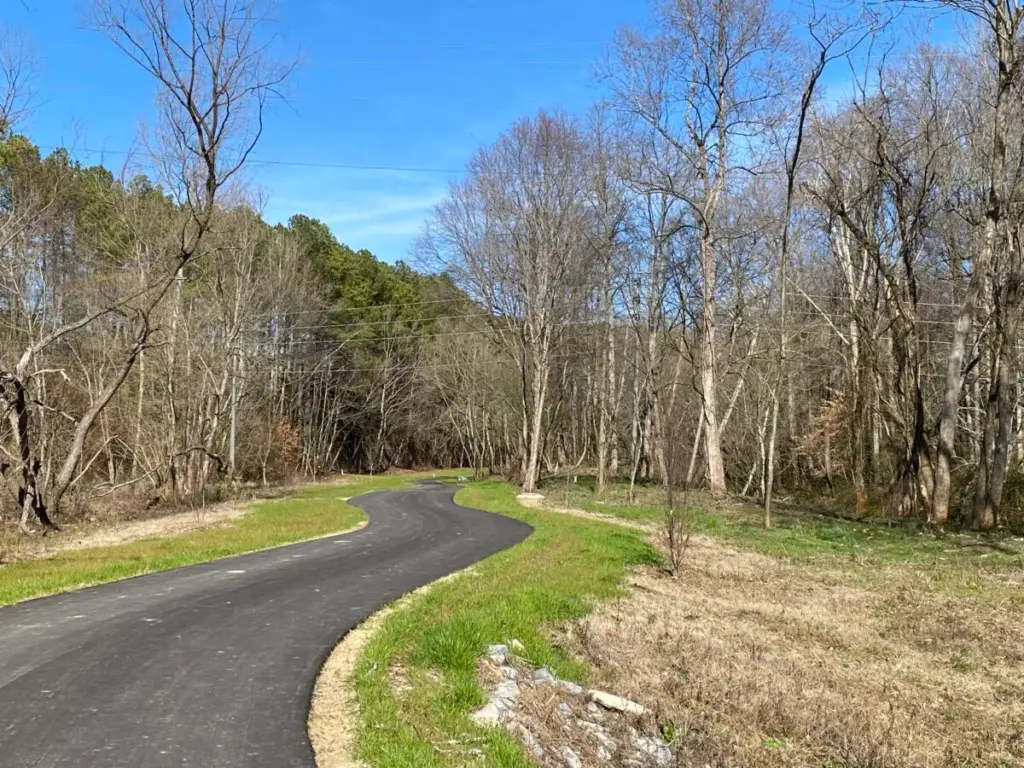
We will meet up in the trail head parking lot (https://maps.app.goo.gl/r8zJdHT7jvtY4Ep77), located behind Dunkin Donuts off of Lakeshore Drive by 10 AM. This section of trail is all paved sidewalk with very little elevation change, and is considered an easier trail to navigate. We will hike one hour in and one hour back out. No hiking poles or special hiking shoes required for this one.
If you’d like to carpool/caravan to the trail head together, please meet in the ALDI parking lot at Stadium Trace by 9:00 AM.
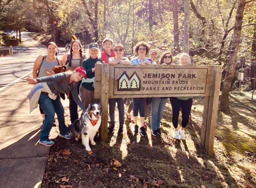
Saturday, October 10th - Jemison Park Trail Hike - 10:00 AM
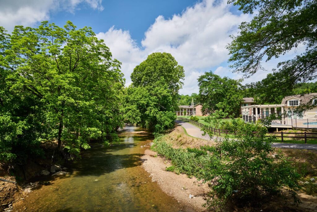
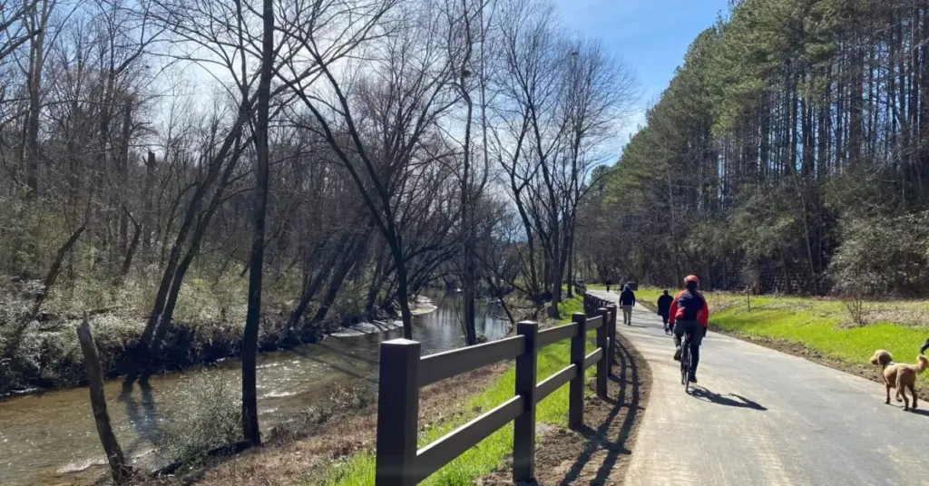
We will meet up in the parking lot between Mountain Brook Elementary School and the tennis courts off of Heathermoor Rd at 10:00 A.M. (https://maps.app.goo.gl/1wgipYTjALjr8Lzy5). We will hike the Watson Brook and Shades Creek sections of the Jemison Trail up to Beechwood Rd. and back. This hike is mostly paved sidewalk with some crushed pebble pathways and a couple small inclines/declines. We will hike the 4.7 mile out & back trail, which should take us just over 2 hours to complete. Regular walking shoes are fine for this trail, and we recommend leaving the dogs at home for this one, since much of it is so close to the busy road.
If you’d like to carpool/caravan to the trail head together, please meet in the ALDI parking lot at Stadium Trace by 9:00 AM.
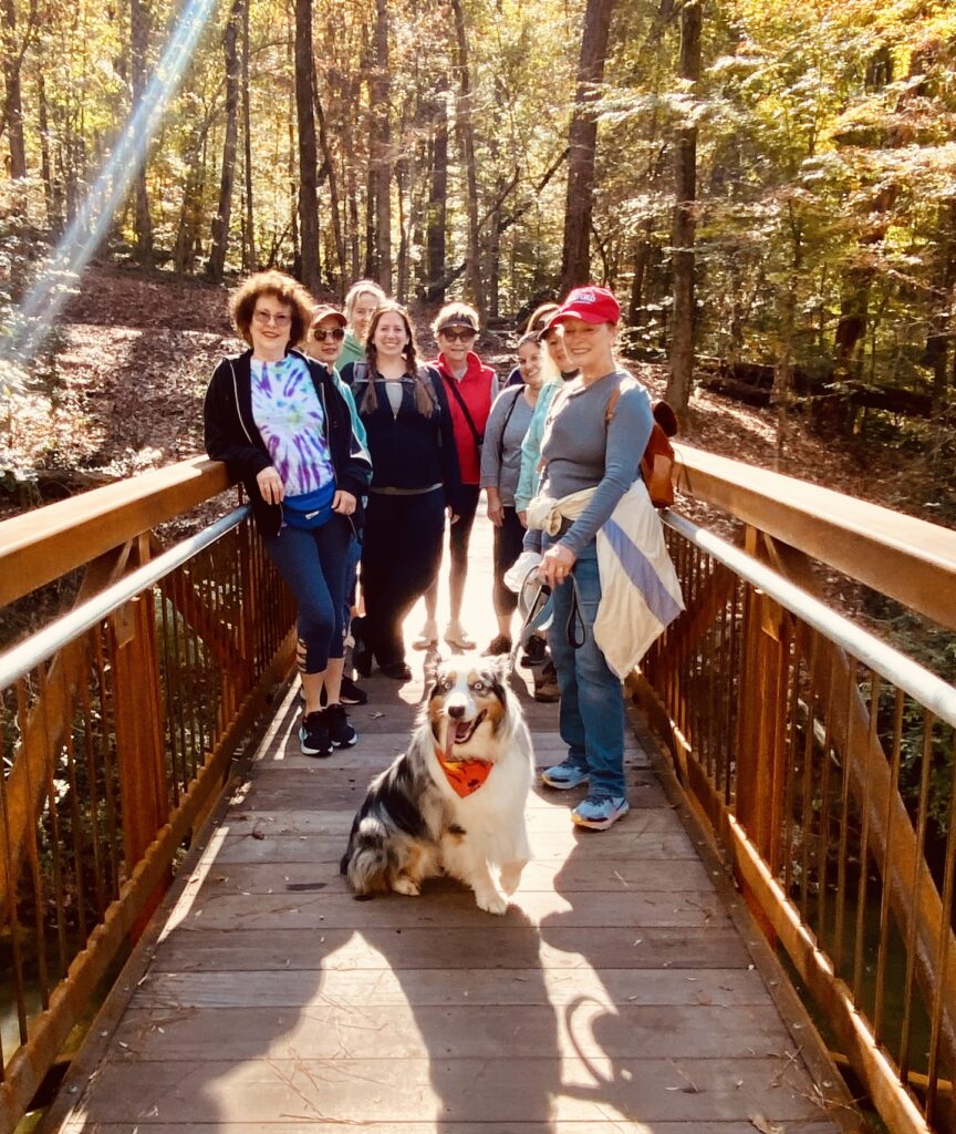
Saturday, October 24th - Ruffner Mountain Overlook Trail - 10:00 AM
We will meet up in the parking lot of the Ruffner Mountain Nature Center (1214 81st St S, Birmingham, AL 35206) at 10:00 AM. The hike's highlight is the picturesque overlook, which offers a fantastic view of downtown Birmingham's forested streets, rolling hills, and far-off skyscrapers. Hikers wind through the woodland, beginning on the Quarry Trail. This trail has tons of wildflowers, birds, and other wildlife. You'll pass by the historic old quarry along the way. As you progress, you'll approach the top edge of a steep slope. Eventually, the trail opens up into ledges covered in low-growing juniper plants. You will also come across numerous little brooks. This hike is only 2.8 miles, however it has an elevation gain of 403 feet, and is considered one of the more strenuous hikes we undertake annually. Hiking poles and footwear with deep “teeth” are recommended, and leave the dogs at home for this one due to the sheer drop-off.
If you’d like to carpool/caravan to the trail head together, please meet in the ALDI parking lot at Stadium Trace by 9:00 AM.
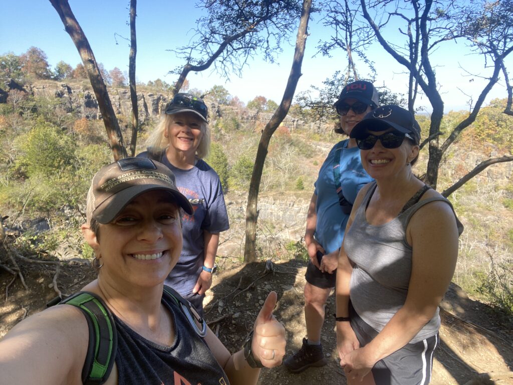

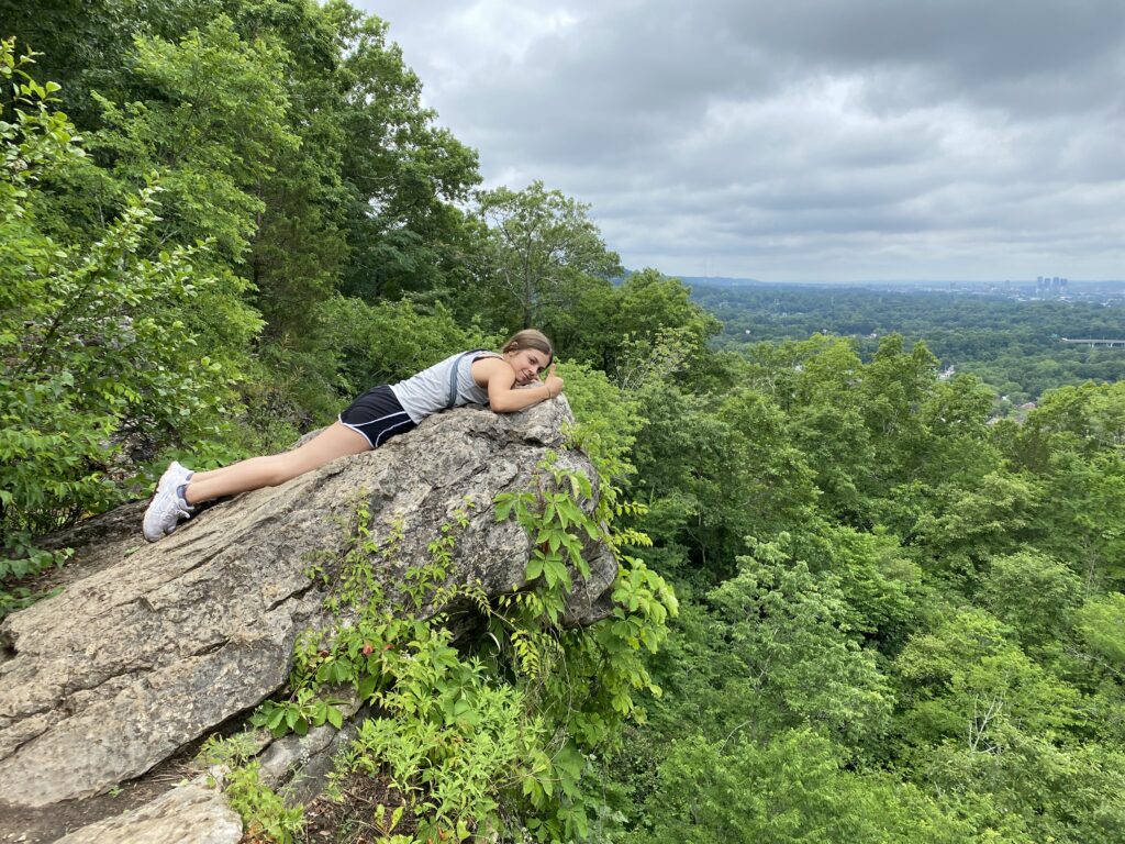
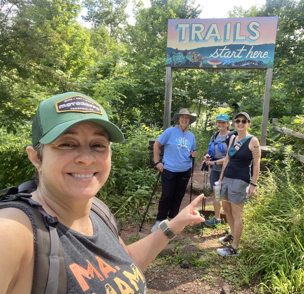
Saturday, November 7th - Brookside Greenway Hike - 10:00 AM
This 1.7 mile scenic trail winds through shaded woodlands and alongside Fivemile Creek, offering trail-goers a peaceful walk through a quiet natural setting with an 88 ft elevation gain. The natural-surface path features gentle terrain with occasional footbridges and views of the flowing creek, providing a refreshing outdoor escape with the charm of a small-town park and the soothing sounds of water nearby. We will meet up at the 5 Mile Creek Canoe & Co. (https://maps.app.goo.gl/y9SmcPBixaYbff2dA) at 10:00 AM.
If you’d like to carpool/caravan to the trail head together, please meet in the ALDI parking lot at Stadium Trace by 9:00 AM.
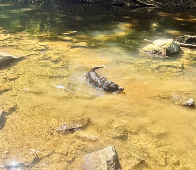
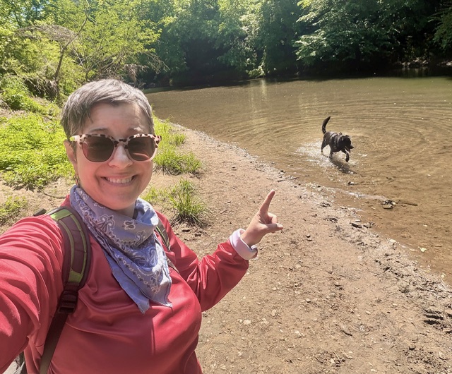
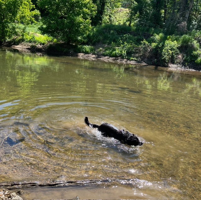
Saturday, November 14th - Moss Rock Preserve White Trail - 10:00 AM
The white trail traverses the length of the park. The western segment is scenic and fairly flat, and features Patriotic Junction, Frog Pond, Tunnel Falls and
Tugboat Rock. The eastern segment is also scenic and features Hurricane
Creek, Boulder Field, Turtle Rock and Window Rock. Terrain is quite
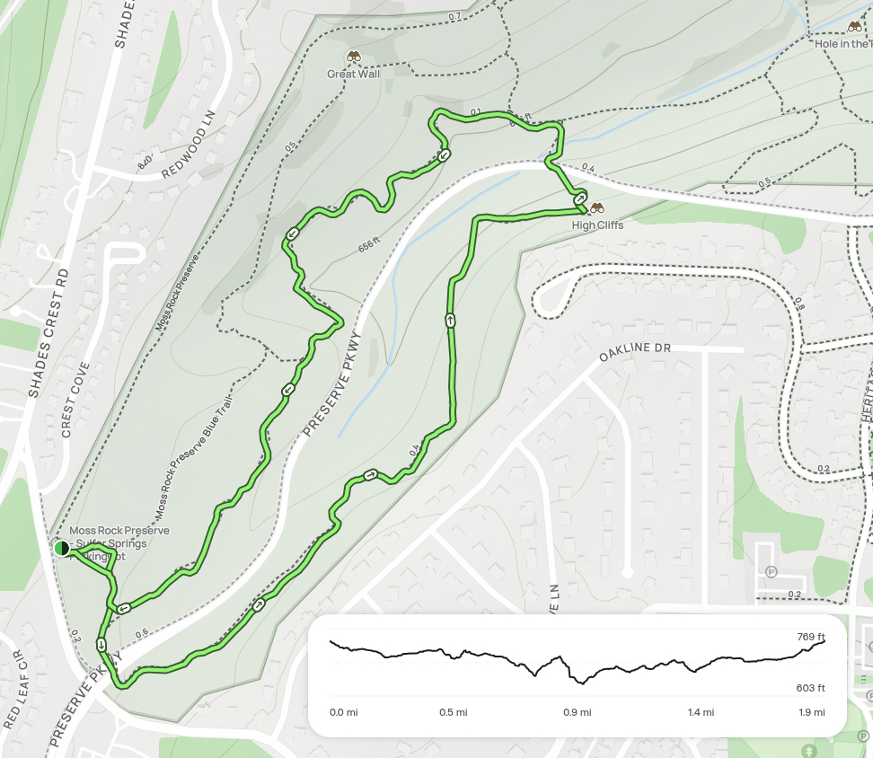
challenging in the park’s NE corner. We will meet up at the Sulphur Springs Trail Head (https://maps.app.goo.gl/vzort9tThNW5wSVKA) at 10:00 AM. This hike will take 2.5 hours, with a considerable elevation gain of 508 feet. It is considered one of the most challenging hikes we undertake annually. Hiking poles and footwear with deep “teeth” are recommended, and dogs are most welcome on this adventure!
If you’d like to carpool/caravan to the trail head together, please meet in the ALDI parking lot at Stadium Trace by 9:00 AM.

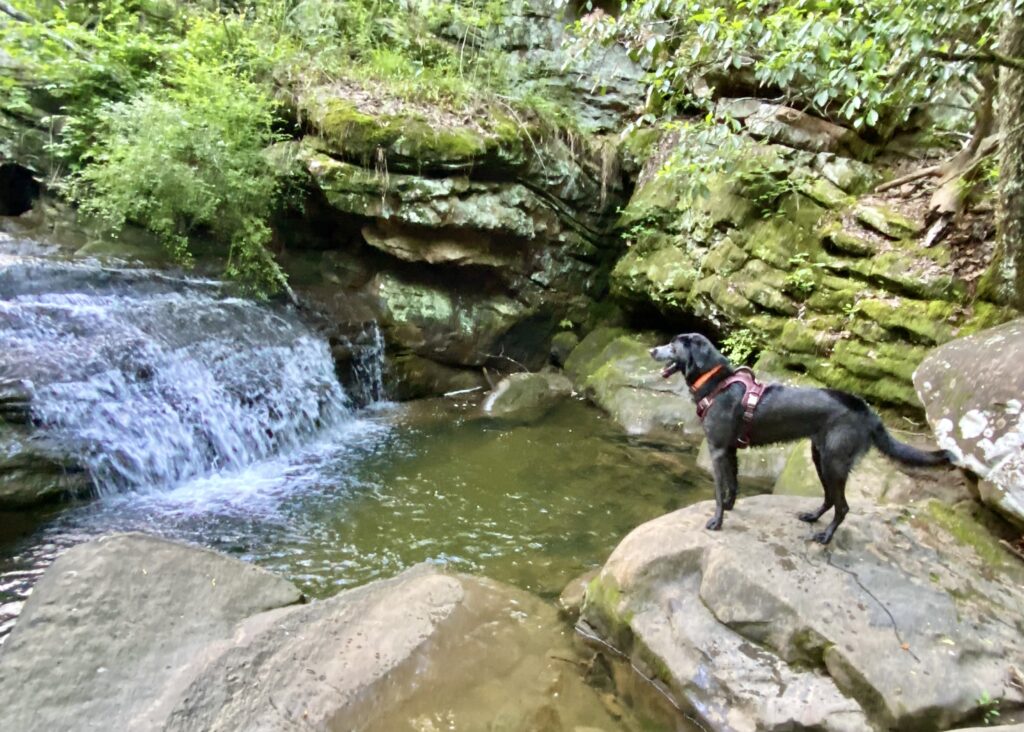
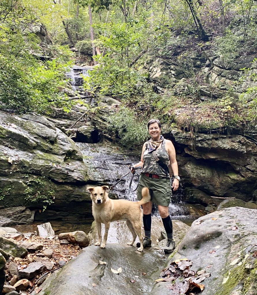
Friday, November 20th - Fleming Park Kayak Launch Trailhead - 10:00 AM
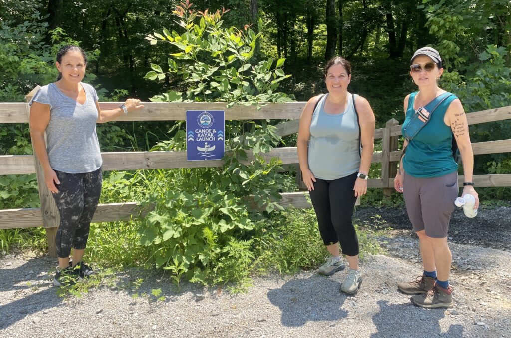
DO NOT trust your navigation to get to the trailhead!!! I PROMISE you, it will have your parking at the circle over in Blackridge, and then SWIMMING across the Cahaba River to get there!!!
Please follow these EXACT directions to meet us at the trail head by 10a:
Head from where you are toward the Hoover MET on Stadium Trace Parkway.
From Stadium Trace Pkwy, take the 2nd Lake Wilborn entrance (LEFT onto Wilborn Run).
Then Right onto Coates Pass.
Then Right onto Old Gould Run.
Then Right onto Murphy Pass,
Then straight onto the gravel road and park by the fencing at the end of the gravel road.
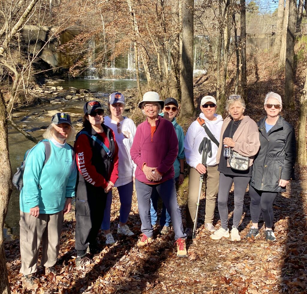
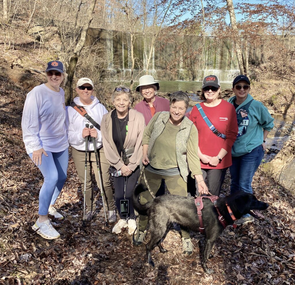
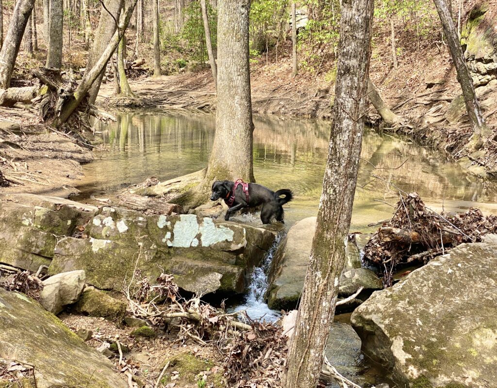
This is a beautiful hike, and I'm looking forward to our time together under the canopy of the forest that hugs the Cahaba River the entire way. It’s 4.9 miles, should take us about 2.5 hours to complete, and has an elevation gain of 367 feet. Hiking poles and footwear with deep “teeth” are recommended, and dogs are welcome on this hike.
If you’d like to carpool/caravan to the trail head together, please meet in the ALDI parking lot at Stadium Trace by 9:00 AM.
Saturday, December 5th - Shoal Nuff Cahaba Shoals Loop - 10:00 AM
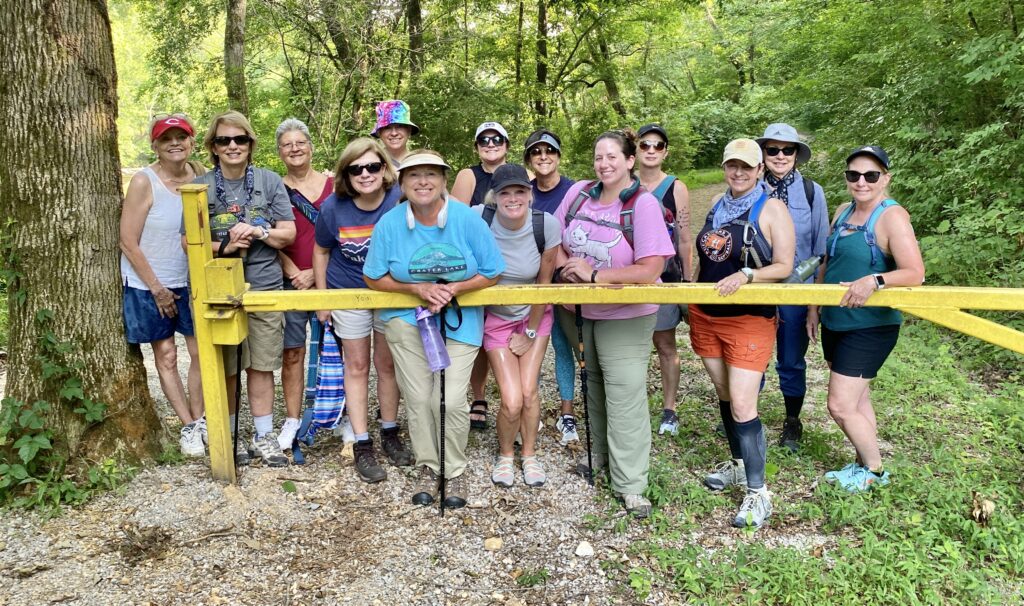
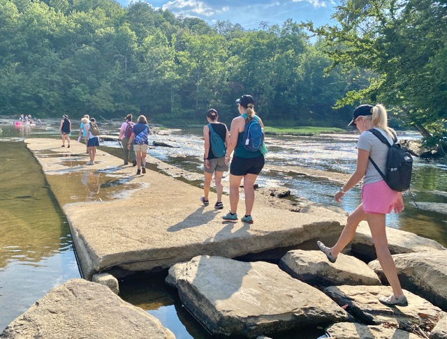
This is a beautiful section of trails within Cahaba River Park that we have NOT explored yet. A good portion of it hugs the lower bend of the Cahaba River in the Park, and will be gorgeous this time of year! We will meet up at the very first parking pavilion on the right, upon entering the park on 251/River Road (https://maps.app.goo.gl/55M8tU4cqrqN8bNM9). This hike is 3.6 miles, and has an elevation gain of 314 feet. Hiking poles and footwear with deep “teeth” are recommended for this moderate hike.
If you’d like to carpool/caravan to the trail head together, please meet in the ALDI parking lot at Stadium Trace by 9:00 AM.
Saturday, December 12th - Dunnavant Valley Greenway Trail - 10:00 AM
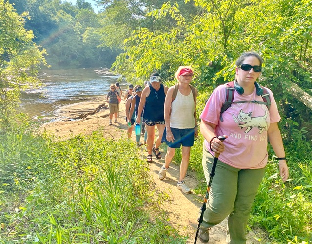
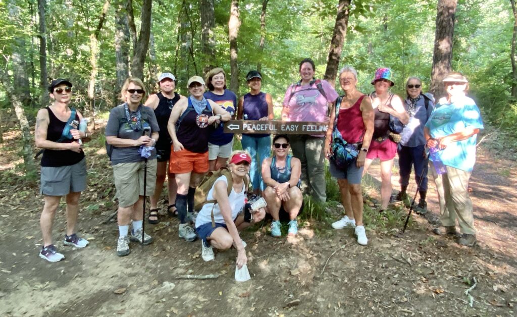
The well-marked trail begins at the parking lot on Dunnavant Valley Road. It follows a creek for most of the way and offers benches, a picnic area, access to the creek, and lots of tree cover. The trail is relatively flat, and there is a lot to see, including butterflies, dragonflies, mushrooms, and frogs. We will meet up in the parking lot of the Dunnavant Valley Park (https://maps.app.goo.gl/xQHWaokvNAsHZbY78) at 10:00 AM. This is a relatively easy hike of 3.5 miles, with an elevation gain of only 170 feet. Hiking poles and footwear with deep “teeth” are recommended, and dogs are most welcome on this hike!
If you’d like to carpool/caravan to the trail head together, please meet in the ALDI parking lot at Stadium Trace by 9:00 AM.
Friday, December 18th - Irondale Cahaba River Trail - 10:00 AM
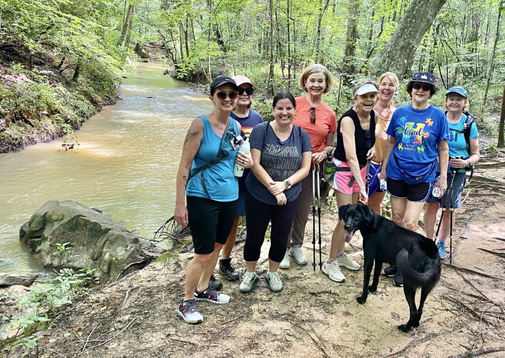
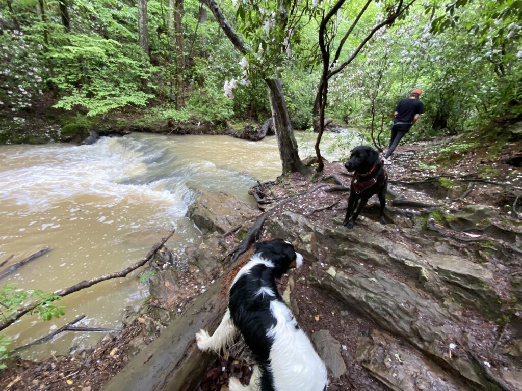
This stretch of River Walk is a beautiful section of the Cahaba River, and a wonderful overlook! Aside from a steep incline at the beginning, the trail is flat and mostly paved or hard-packed. There are just a few dirt/gravel side-of-the-road parking spaces on the left just off of Grants Mill Road. We will meet up HERE at 10:00 AM, and will hike for about 1.5 hours. This is an easy hike.
If you’d like to carpool/caravan to the trail head together, please meet in the ALDI parking lot at Stadium Trace by 9:00 AM.